Antarctic Observatory for the Study of Microbial Communities in Soils and Rocks
Activities Stations
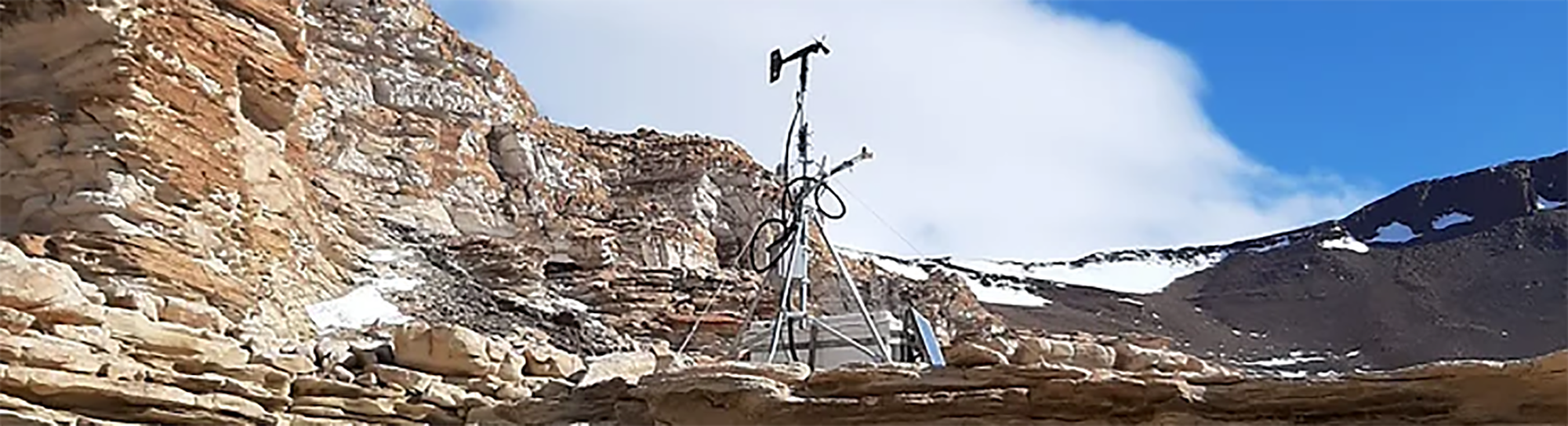
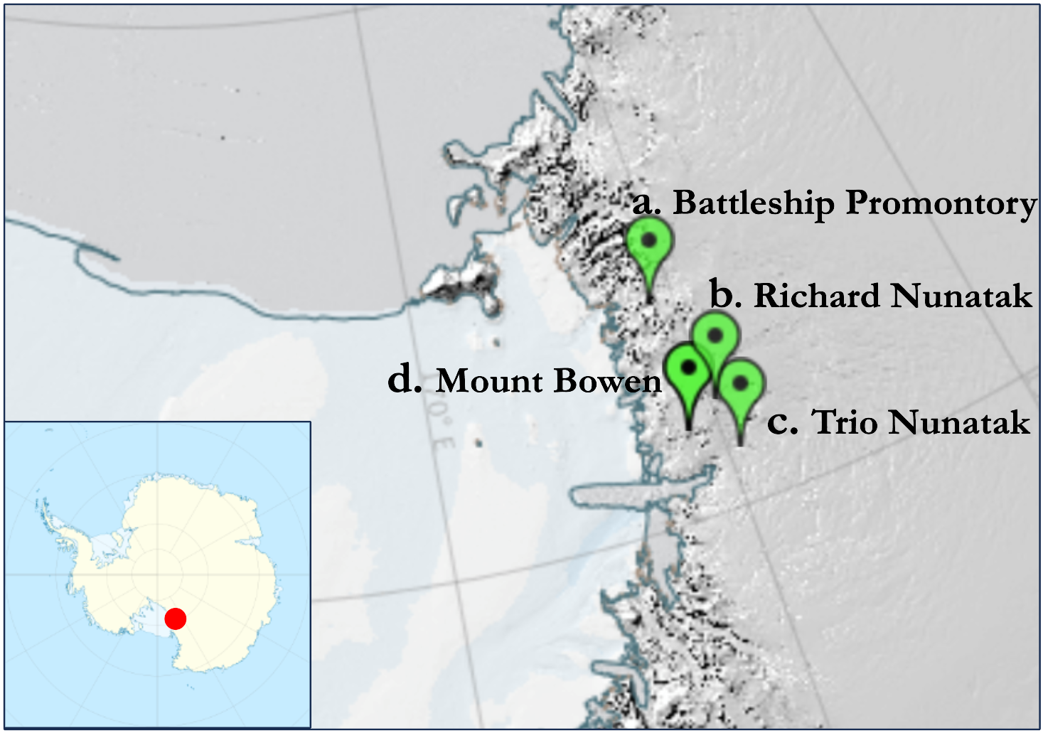
Currently the Observatory manages a monitoring network made up of 4 stations installed as part of the PNRA14_00132 project following the directives of the SCAR ANTOS research group.
The stations, now part of a permanent observatory as part of the PNRA00005 project (PNRA Call 2022), measure data continuously and transmit them via a satellite system to a dedicated server, from which they are acquired and made visible on this page.